Physical features:
The main constituents of the soils in Lakki Marwat are deep excessively drained, calcareous and coarse textured (sand and loamy sand) developed from the Silwalik sandstone of Shinghar and Marwat range piedmont material. The fine textured soils (sandy clay and clay loam) of the area are developed from variety of rocks of Bhittani and Waziristan ranges. The soils occur on leveled to nearly position in piedmont plains. Climate of the area is arid to semi arid and sub-tropical continental. The soils are used for dry farming and torrent water cultivation.
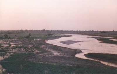
Topography:The topography of the district is a combination of hills and plains. The hilly areas are along the boundaries of the district especially in the east, southeast, southwest and northwest. In the southeast, the Marwat range separates Lakki Marwat from D.I.Khan district while in the east the Karak Niazi range separates it from Mianwali district. It is surrounded by Bittani range on the west and southwest, which separates it from Tank districts and the tribal area adjoining Tank district and South Waziristan Ageny. The Marwat range culminates and Bhittani ranges starts near Sheikh Badin. The general elevation of these hills ranges from 500 to 1000 meters above sea level. The land beyond these hills gradually slopes to the central part, which looks like a basin. A large number of stream flows from the surrounding hills, the Kurram River flows through the district from North West to the south east and joins the Indus River south of Isa Khel town. Its important tributary is Gambila River. The major part of this basin is an alluvial plain. The northern portion of this plain is situated chiefly in the Kurram Gambila Doaba and irrigated by Kurram River. It is a flat sandy area. The southern part is made up of undulating dunes of sand, furrowed at regular intervals by deep torrent beds which carry the drainage of the Marwat and Bhittani ranges to the Gambila. It is good for cultivation; water table is quite deep below the soil surface. In the western portion of the district, the soil is fairly stiff clay covered by a layer of stones at the foot of the hills. The whole district is intersected by numerous hill torrents and deep ravines. The general elevation of the plain area is about 200 to 300 meters above sea level.
Geology:
The Lakki is underlain by thick blanket of alluvial plain, which consist of unconsolidated, quaternary deposits, consisting of sand, silt gravels and clay. This plain is bounded by Sheen Ghar Bhittani ranges, which are assemblage of the sandstone, and carbonates. The foothills of these ranges are dominantly composed of loose boulders of the sandstone of variable shapes and sizes. These are detached from the higher ranges by the diurnal changes of temperature and have been transported to the plains by the streams. The talus is of variable size and shape and is dominantly sandy and erinaceous in composition.Mining:
The precious minerals of the day like uranium, silica sand, limestone, building stone, fire clay, gypsum, plotter` s clay etc. are found here on both sides of Kurram and Gambila rivers as well as in Pezu hills.