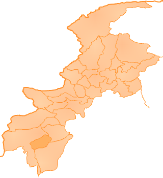
Location:
The district lies between 32 - 17 to 32 - 53 north latitudes and 70 - 23 to 71 -16 east longitudes.
Boundaries:
It is bounded on the north by Bannu and Karak districts. On the east by Mianwali district of Punjab province, on the south east by Dera Ismail Khan district, on the southwest Tank /district and on the west by Tribal area adjoining Tank district and South Waziristan Agency.
Area:
The total area of the district is 3,164 Sq. Kilometer.
Maps Of Lakki Marwat